Property intelligence
Roofing, Storm & Property Documentation
Capture the condition. Document the damage. Support the decision.
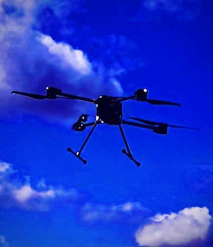
LineScan provides aerial imagery and LiDAR-supported documentation for roofing contractors, storm-restoration companies, large property owners, industrial sites, and claims-support teams.
Practical uses
- •Roof and property condition documentation
- •Pre-event or pre-work baseline capture
- •Post-storm imagery and damage documentation
- •Restoration progress and completion records
- •Commercial and multi-building property capture
- •Debris, blocked-access, drainage, and site-condition mapping
- •Before-and-after comparison for owner communication
Potential deliverables
- ✓Aerial image exhibits
- ✓Property overview maps
- ✓Before-and-after image comparisons
- ✓LiDAR-supported site reference views
- ✓Damage and concern-point observations
- ✓Restoration progress exhibits
- ✓Final documentation packet
Important use note
LineScan does not make insurance coverage decisions and does not provide licensed roofing inspections, structural engineering certifications, certified measurements, or causation opinions. Deliverables support review by the appropriate contractor, adjuster, engineer, insurer, or property professional.