
LiDAR infrastructure intelligence for faster, more defensible decisions.
LineScan combines mobile LiDAR scanning, UAS imagery, high-resolution field capture, and GIS-ready data to document roadways, utility corridors, pipeline rights-of-way, construction sites, and storm-affected properties.
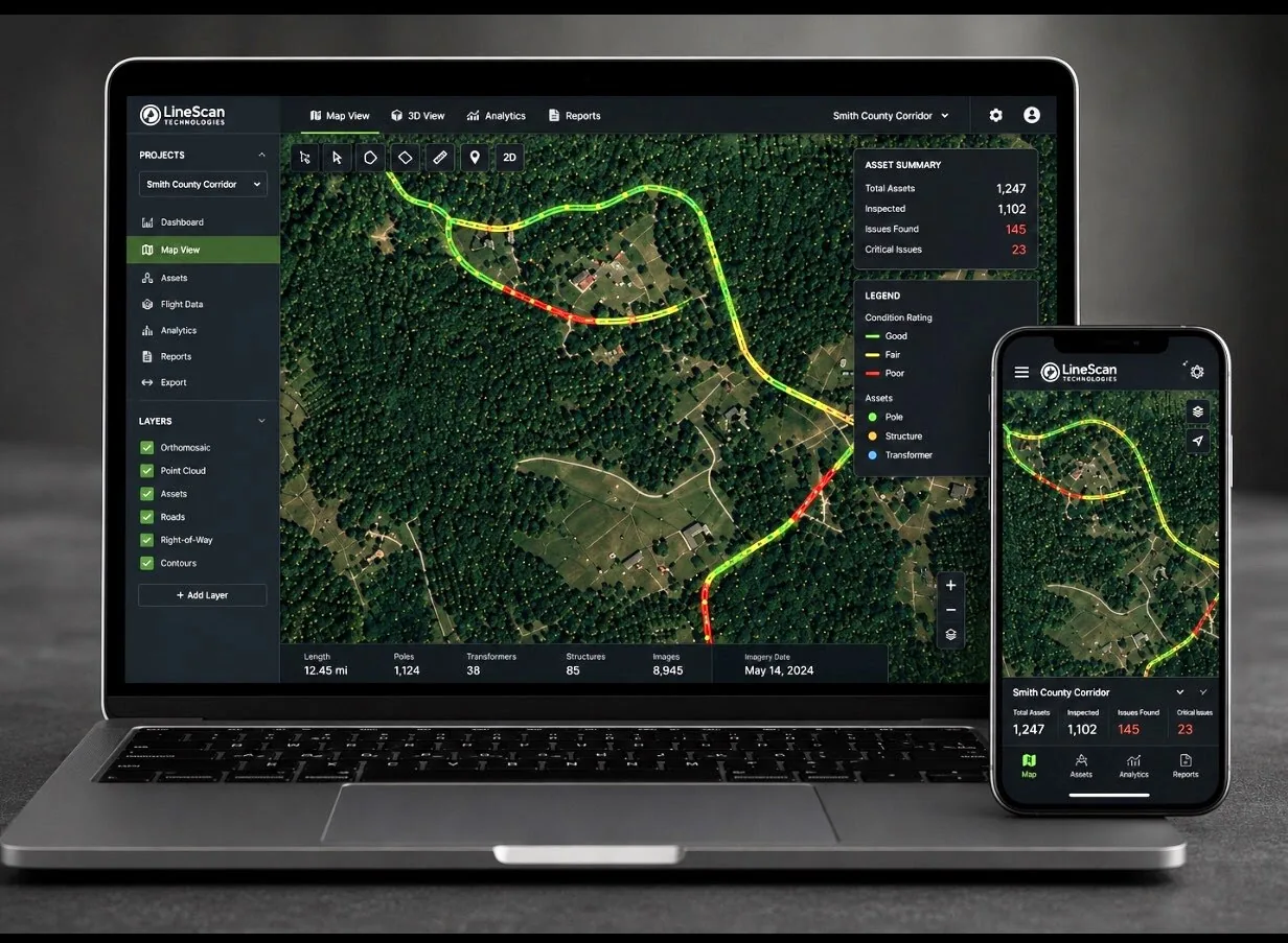
Featured program
Annual Infrastructure Intelligence Program
Move from one-time snapshots to a consistent infrastructure record. LineScan establishes a network baseline, returns on a defined schedule, and packages change information for planning, budgeting, maintenance, and stakeholder reporting.
Capture and organize the network into standardized, explainable deliverables.
Repeat capture or targeted refreshes reveal meaningful change over time.
Use GIS layers, visual exhibits, and summaries in planning and board-level conversations.
LiDAR programs & services
Built around real infrastructure problems
Recurring program
Annual Infrastructure Intelligence
Baseline, scheduled updates, change detection, GIS layers, and reporting continuity.
County & Municipal Roadway Intelligence
Condition, assets, drainage, vegetation, and GIS-ready roadway documentation.
Utility & Co-op ROW Intelligence
Vegetation risk, clearance, access, storm response, and contractor verification.
Construction Site Intelligence
Pre-work baseline, progress comparison, owner communication, and closeout records.
Pipeline ROW Intelligence
Encroachments, access, erosion, drainage, vegetation, and restoration evidence.
Roofing, Storm & Property Documentation
Property condition, storm damage, restoration progress, and comparison records.
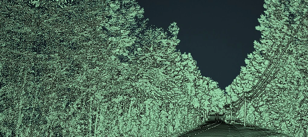
Who we serve
One geospatial capture platform. Multiple infrastructure markets.
Our work is structured for teams that need conditions documented clearly enough to plan, prioritize, communicate, and verify.
What LiDAR adds
Mobile LiDAR scanning services built for decisions—not just impressive visuals.
LineScan turns point clouds, imagery, and field observations into usable exhibits and GIS data. The result is a clearer record of condition, clearance, access, terrain, drainage, assets, and change.
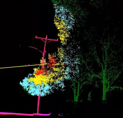
See measurable risk
Review height, density, slope, drainage, clearance, terrain, and repeatable change information.
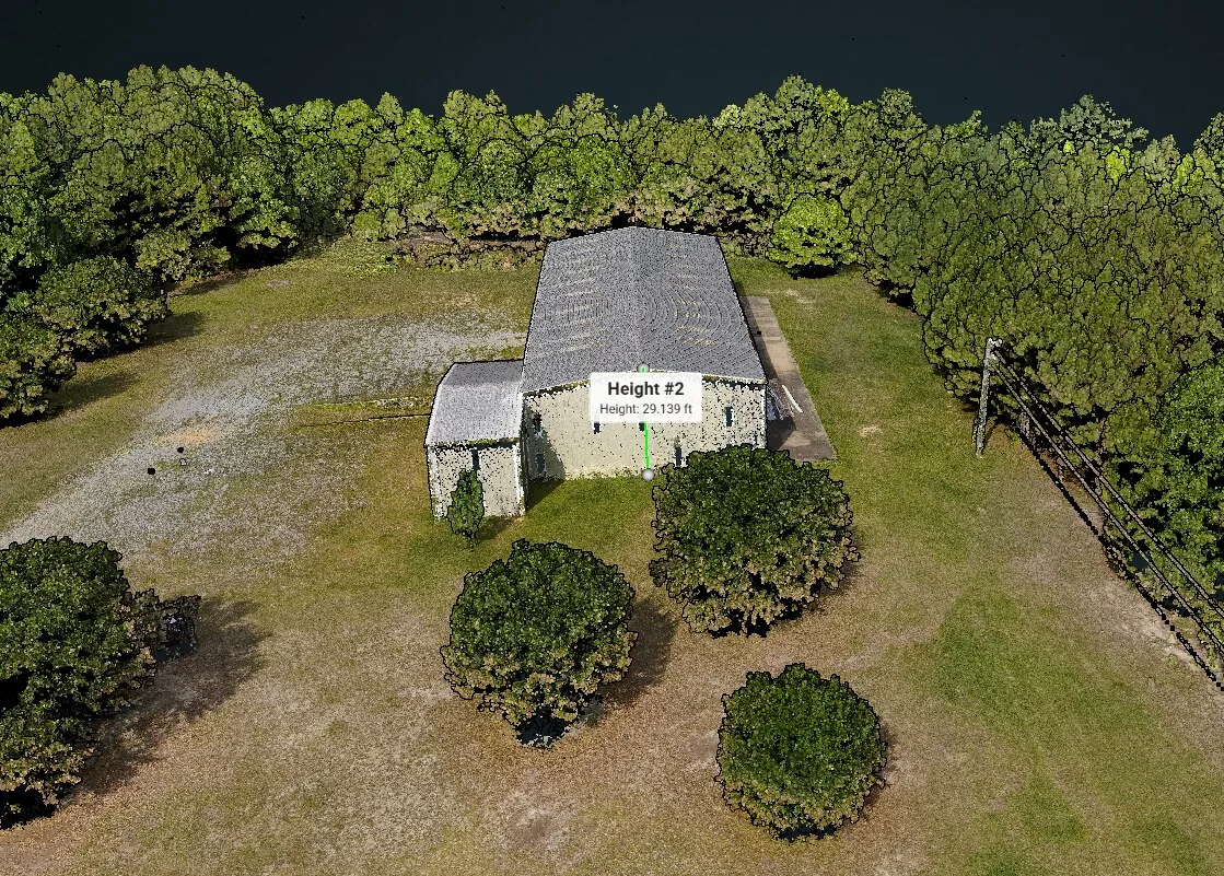
Document project change
Create baseline, progress, and closeout exhibits for contractors, owners, and project teams.
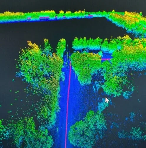
Reduce field uncertainty
Give teams better information before truck rolls, maintenance work, bids, and field decisions.
Have a corridor, network, or property to document?
Start with the decision your team needs to make.
We’ll help match the capture plan and deliverables to the scope.