Featured recurring program
Annual Infrastructure Intelligence Program
A repeatable baseline-and-update model for agencies, utilities, co-ops, and infrastructure owners that need year-over-year continuity instead of disconnected one-time projects.
LineScan applies mobile LiDAR, UAS imagery, high-resolution field capture, and GIS production to real planning, maintenance, documentation, and verification problems.
Featured recurring program
A repeatable baseline-and-update model for agencies, utilities, co-ops, and infrastructure owners that need year-over-year continuity instead of disconnected one-time projects.
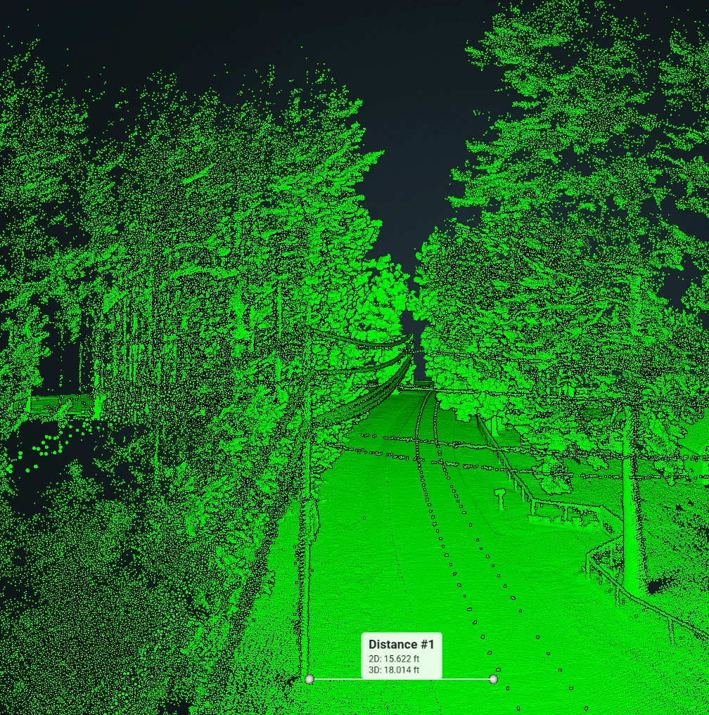
Road condition, roadside assets, drainage, vegetation, signage, and GIS-ready roadway documentation.
View roadway program →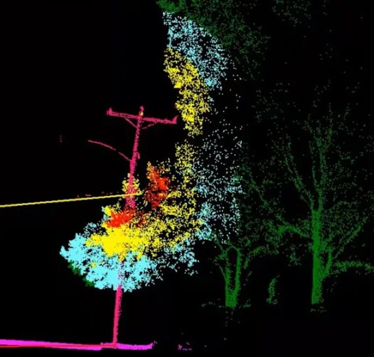
Vegetation encroachment, hazard trees, access obstruction, clearance risk, storm response, and contractor verification.
View utility program →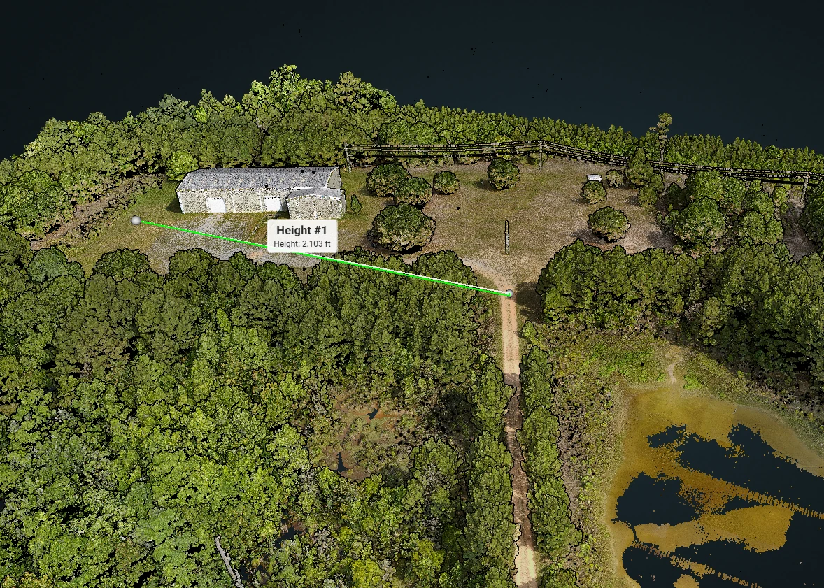
Pre-work baseline, milestone comparison, progress communication, and final closeout documentation.
View construction program →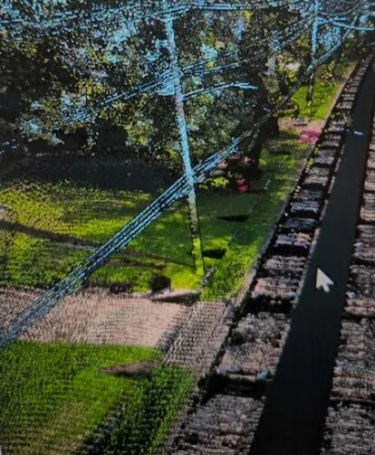
Encroachment, vegetation, access, erosion, drainage, washout exposure, and restoration verification.
View pipeline program →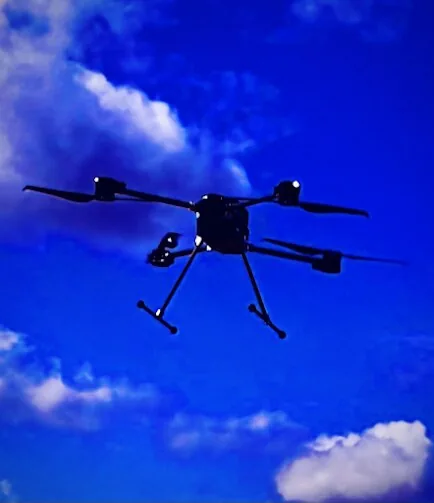
Property condition, storm damage, restoration progress, commercial sites, and claims-support documentation.
View storm documentation →Professional & industry support
Supplemental corridor capture, mobile LiDAR, aerial imagery, GIS-ready data, asset inventories, visual exhibits, and overflow field capacity.
Licensed engineering, surveying, design, certification, and final professional interpretation remain with the responsible firm.
Tell us the decision, coverage area, and timeline. We’ll help define the most useful starting point.