
County & Municipal Roadway Intelligence
LineScan uses mobile LiDAR and high-resolution imagery to create roadway condition records, roadside asset inventories, drainage and vegetation observations, and GIS-ready mapping for county and municipal networks.
A practical, repeatable program that turns roadway reality capture into clear deliverables for planning, prioritization, and stakeholder communication.
Measured roadway intelligence
See corridor conditions in measurable detail.
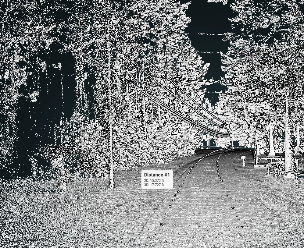
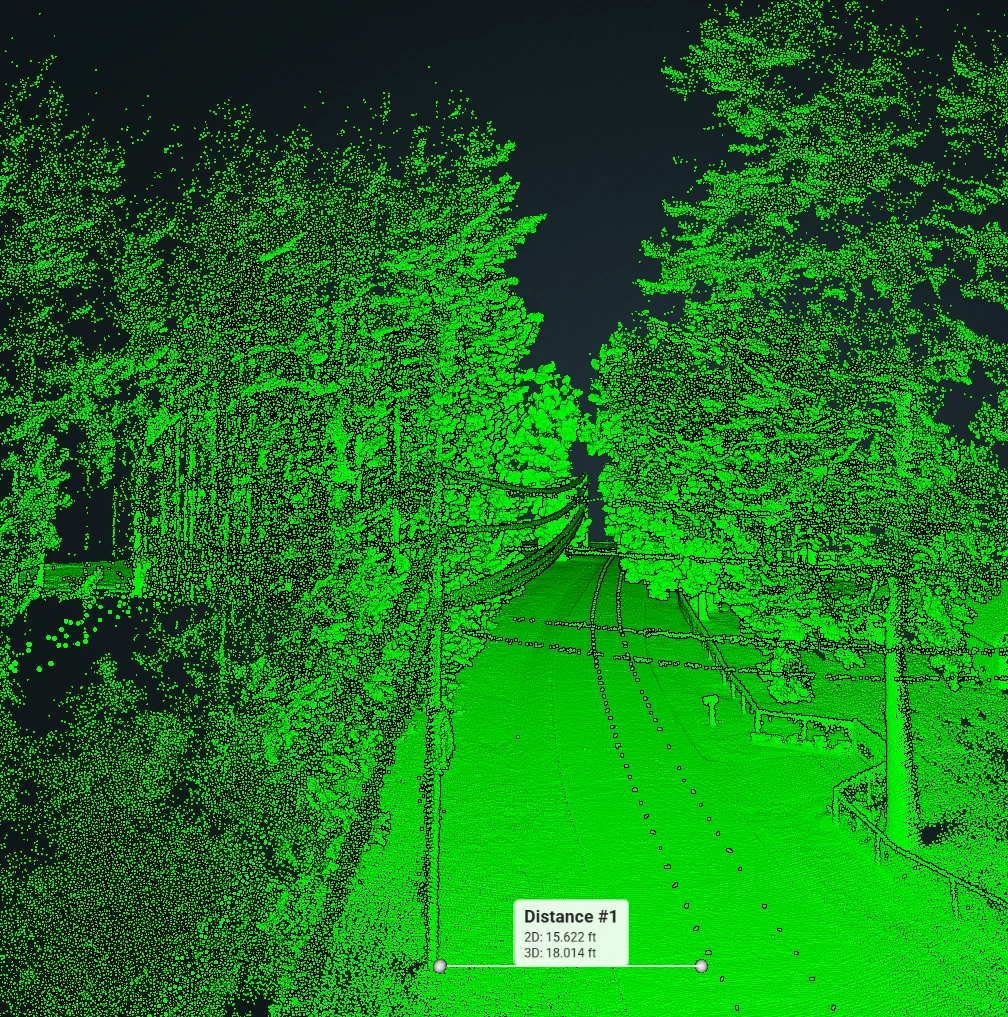
LiDAR point clouds let teams review roadway width, roadside clearances, vegetation, utility corridors, and other visible conditions from a consistent digital record.
- • Capital planning and program oversight
- • Prioritization discussions and public meetings
- • Documentation for grant or funding narratives
- • Consistent reports and map layers
- • Repeatable method and documentation
- • Packaged deliverables for easy handoff
The program emphasizes traceable source inputs, clear assumptions, and outputs that are easy to explain to non-technical stakeholders.
How it works
- 1) Define decisions
Confirm what the board, engineer, or manager needs to decide. - 2) Capture & organize
Collect source data and organize it for consistent processing. - 3) Produce deliverables
Generate program-ready layers and reporting outputs. - 4) Review & publish
Validate usability and package for stakeholders.
Common questions
Can this align with our existing pavement program?
Yes. We aim to package outputs so they support how your team already plans, reports, and communicates.
Do we need special software?
Not necessarily. We can provide deliverables in formats your team can use today. If you have preferred tools, we can align to them.
How do we keep it budget-friendly?
We can stage scope and prioritize outputs so you start with what supports decisions first, then expand as needed.