
Construction Site Intelligence
Construction LiDAR documentation gives project teams a repeatable visual and spatial record for pre-construction baselines, progress comparisons, site communication, and closeout.
Document the site. Compare the work. Close out with confidence.
LineScan gives contractors, owners, and project stakeholders a clear visual and LiDAR-supported record of site conditions before work begins, during major progress milestones, and at final completion.
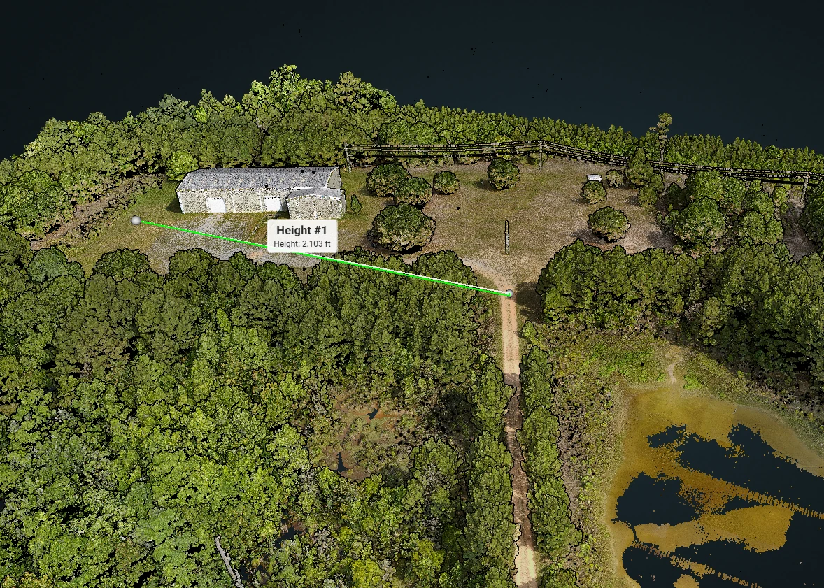
Practical uses
- •Pre-construction baseline documentation
- •Dirt work, grading, clearing, rock, gravel, and fill placement review
- •Road, access-drive, culvert, and drainage-area documentation
- •Progress tracking and owner updates
- •Before-and-after comparison for change discussions
- •Final closeout and project record
- •Storm-event and damage documentation
Potential deliverables
- ✓Aerial image exhibits
- ✓LiDAR-derived point cloud views
- ✓Colorized point cloud files or hosted viewer access
- ✓Before-and-after comparison exhibits
- ✓Surface-change reference exhibits
- ✓Planning-level quantity or thickness aids using contractor-provided assumptions
- ✓Final project documentation packet
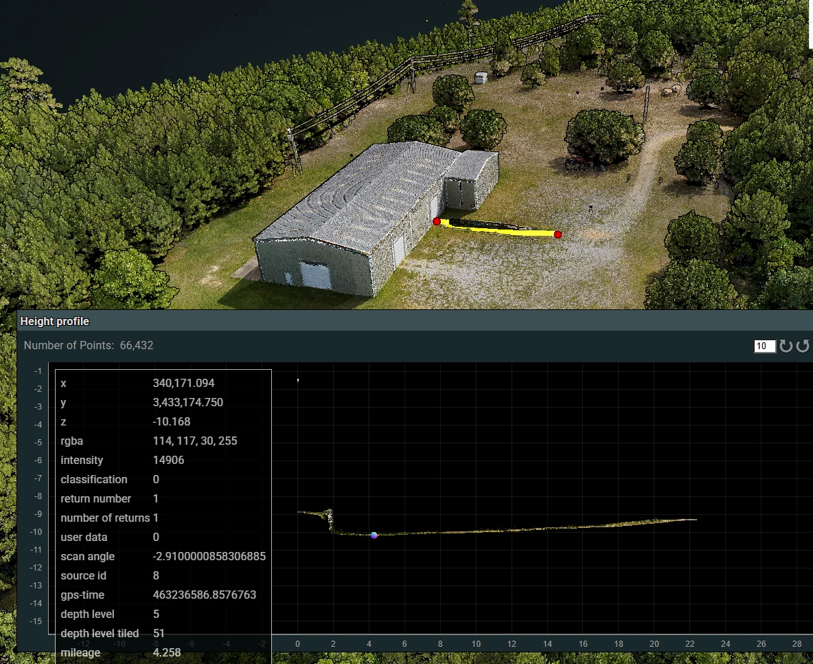
Measurement examples
A visual record with spatial context.
Point-cloud measurements and profile views help project teams communicate existing conditions, compare milestones, and document visible change without relying on photographs alone.
- Height and distance reference measurements
- Site-wide spatial context and feature locations
- Repeatable views for progress and closeout discussions
Important use note
LineScan deliverables support planning, documentation, communication, and project review. They are not boundary surveys, engineering designs, grading plans, drainage designs, certified quantities, pay quantities, construction inspections, or certified as-built surveys. Any use for design, permitting, payment, or legal reliance should be independently reviewed by the responsible contractor and, where required, a licensed engineer or surveyor.