
Annual Infrastructure Intelligence Program
A repeatable LiDAR and GIS program for counties, municipalities, utilities, co-ops, and infrastructure owners that need a consistent record of network conditions—not a disconnected one-time scan.
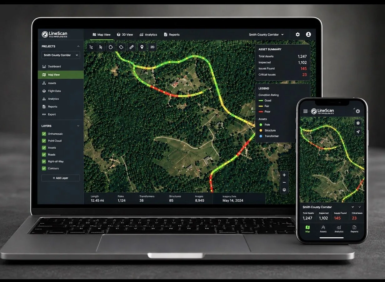
Why annual intelligence
Infrastructure changes every year. Your record should change with it.
Scheduled capture creates continuity for capital planning, maintenance prioritization, storm recovery, contractor oversight, funding narratives, and board-level communication.
01
Establish a baseline
Organize current conditions into a standardized network record with traceable source data.
02
Refresh on schedule
Repeat full or targeted capture to identify meaningful condition, hazard, and access changes.
03
Use the change
Package updated layers, exhibits, and summaries for planning, budgeting, and field execution.
Core deliverables
A defensible record your team can build on.
Scope is matched to the network and decisions, but the annual model is built around consistent formats and year-over-year usability.
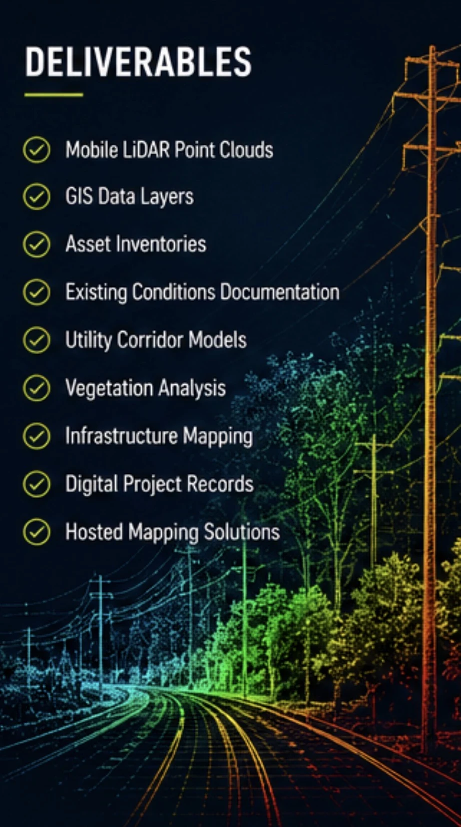
- Full-network or corridor baseline
- Scheduled update capture
- Change-detection exhibits
- GIS-ready data layers
- Condition and concern points
- Asset and access documentation
- Executive summary reporting
- Hosted viewer or handoff package
Designed for continuity
Better than starting over every budget cycle.
Planning
Use consistent condition information to support priorities and capital conversations.
Operations
Give field teams clearer locations, context, access information, and documentation.
Verification
Compare completed work, restoration, vegetation activity, and changing conditions.
Communication
Use visual exhibits and summaries with boards, partners, contractors, and stakeholders.
Build a program around your network.
LineScan can help determine the baseline coverage, update cadence, and deliverable package that best supports your organization’s decisions.
LineScan provides observational, planning, GIS, and documentation support. Licensed engineering, surveying, certification, and regulatory determinations remain with the responsible professionals and agencies.